Wednesday, September 14, 2016

Alien Run and Mountain View Loops, Aztec, NM

[Previously posted on FB 14-Sept-2016]
There was no point in trying to ride anything with mountains nearby. Forecast was rain everywhere, snow at higher elevations. One of the many redeeming qualities of Durango is you can always head out to the desert around Cortez CO, Farmington NM or Aztec NM and avoid rain/snow. Cortez and Aztec are only 45min away.
I opted for Aztec, trails I've ridden at least three times on past trips. There were more trails there I hadn't ridden yet, so I had a nearly 40mi loop in mind. Forecast wasn't perfect, but at least you won't freeze to death if you get caught in downpour out there. Lightning is still a concern though. Pretty exposed.
Some of the initial loop from the Aztec Sports Complex may have been rogue trail. It was pretty sandy in spots and not that much fun. Once on the Mountain View loop, that stuff was fun. Nice flow, good balance of climbing and short, fast rips down.
Three miles of dirt gas well road connects to the Alien Run loop. The sky was filling in rather quickly. A local (from Durango, avoiding rain just like I was) was just finishing up his loop. I asked if I should be worried about the sky. In summary, he said yeah, a little. Then I told him where I started. Face wrinkles. Kind of like when I do a FOMBA/Bear Brook loop and I tell people in BB I started at FOMBA. I was 15 miles from my car across open desert. Guess maybe I should be more than just a little worried about the sky.
Great, for fourth day in a row now, I'm going to feel rushed to beat the rain. I started hammering the Alien Run loop. At about the furthest point out on the loop, it started spitting rain. I'm 2+ hours from my car across clay desert. I freaked more than just a little. Fortunately it was just a dark cloud that passed by. Later in the ride, it rained a bit harder for a few minutes, but still not enough to grease things up. No thunder either.
The Alien Run loop is like a hybrid between Moab and Fruita trails. Bits of grippy slickrock, lots of steep clay ups and downs. Scenery similar too. Min to max elevation difference on this loop was just under 1000ft.
I finished with about 39mi, 3600ft of climbing, in 4.3hrs moving time. Not my favorite place to ride, but interesting enough to hit once in a while, especially when getting weathered out of high country.
I stopped in town after the ride, and ka-boom. Thunder. Didn't even look much of a cloud. Timed that pretty close.

ATOS - Aztec Trails & Open Space

Human power only. Yay!

There were many interesting ornaments along the route

Random bits of color in the New Mexico desert

Many bits of "slick rock" on Alien Run

Not a believer. Sorry.

You'd think if a space object crashed here there'd be some kind of a dent in the ground...

Another canyon on Outer Limits section of Alien Run that offered optional exposure

A descent heading back on Alien Run.

Short, medium and long loops. First time I did the full Outer Limits extension. 16+ mile loop of pure singletrack.

In on the right, Out on the left. A unidirectional trail.

Glad I opted out of riding in Durango. Looks like they are getting hammered.

Tuesday, September 13, 2016

Colorado Trail Segment #26: Bolam Pass to Blackhawk Pass

[Previously posted on FB 13-Sept-2016]
Trying to make the best of the weather. Forecast was pretty crappy for today. Tried to get earlier start. Headed north to Purgatory Ski Area to hit another section of the Colorado Trail.
I've ridden this section once before with Dave Penney. I recall Dave ditching me at the ridge when the thunder started and left me for dead. Today I have only myself to blame if I became a crispy critter.
I almost abandoned the ride at Bolam Pass when a hail squall moved through. Back down at the Colorado Trail (CT) junction, conditions improved slightly and I decided to give the 8mi trek across the ridge a go. I made it over Blackhawk Pass without getting hammered with precip again.
I had planned to traverse the ridge all the way to the Corral Draw descent, but didn't want to temp fate a second time. It would have entailed a bunch more climbing, and I was pretty wrecked racing against the weather so far. So I took the Hotel Draw jeep road the remaining vertical back down. Probably a good call, hit some rain before I got back on pavement with the car.
Finished with 28mi, 4400ft of climbing, in 3.8hrs moving time. Not that long of a ride, but fairly intense due to racing against potential dangerous weather. At least the weather made for some interesting photos.

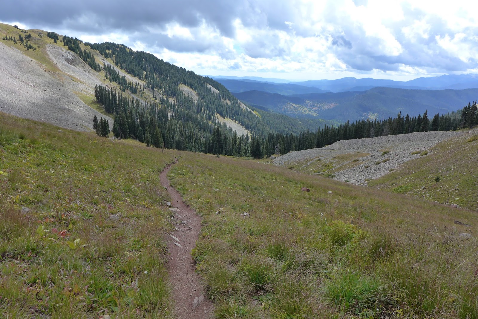
Kind of stupid heading up to 11,000ft when the skies already look this ominous.

Approaching Bolam Pass, shelter from old mine camp if I need it in an emergency.

SOB! I no more than get to start of the CT, it start raining at Celebration Lake

I decided to bail on the 8 mile ridge traverse to next available down route due to weather, so I climbed the remaining 300ft to Bolam Pass. I had never been all the way to the pass. The view was interesting and frightening at the same time.

Rain turned into rigorous hail squall. That shit hurts at 11,400ft where there isn't much air to slow it down!

Hail and black clouds suggested I was f'd and should bolt right back down. It was only around 10:30-11am.

Yet there were breaks in the clouds in some directions

That is probably the Lizard Head Wilderness in distance

When I got back down to the CT junction, the sky didn't look so bad south and east. I changed my mind and decided to give the ridge a go. After all, how long could 8mi take? An hour, right?? Yeah, right!
Heading south on the CT, didn't take long for more ominous clouds to build. I wanted to be over Blackhawk Pass by noon, then I was home free off the ridge.

I think that is Hermosa Peak in distance. The CT crosses over the ridge several times, accumulating a huge amount of PUD vertical (pointless up and down).

Getting ready to cross over the ridge again

Crossed over, skies to SW don't look too bad


Approaching Blackhawk Pass just left of center

Blackhawk Pass straight ahead. There was huge amount of hike-a-bike getting to this point. It took way more than an hour to cover that 8 miles of ridge.

Final switchback to Blackhawk. Might just make it without dodging lightning or getting soaked. GPS said it was 37F, but I think it is not measuring temp accurately anymore. It was cold and very windy though.

Blackhawk Mtn from the pass

Looking north from the pass
No imminent threat of precip, chilled for a bit, figuratively and literally.

My route down

Lizard Head Wilderness from Blackhawk Pass

Shot of the pass when the sun briefly illuminated it

Heading down east side of Blackhawk Pass. Life was good!

Looking down the CT from Blackhawk

Looking up the CT towards Blackhawk Pass

There were some very chunky sections on the descent, but mostly buff

Back in the pines on benchcut

Monday, September 12, 2016

Horse Gulch and Animas Mtn from Hotel

[Previously posted on FB 12-Sept-2016]
I woke to rain in the area and high probability of afternoon thunderstorms developing. What to do... There are several days worth of riding right from town (Durango). I've ridden some of it on past trips, but it is not the primary draw for me. The high country is.
The Trails 2000 organization has been busy building new trails. One I wanted to hit was Skyline, which switchbacks a zillion times up to the top of Raider Ridge. This group knows how to design and build sustainable trails for multi-use. If I ever move here, I would love to join them. Then just last year, Trails 2000 finished a descent from Raider Ridge into Horse Gulch, named Sugar.
These two new trails are fabulous. My tired legs didn't clean all the switchbacks up Skyline, but the Sugar descent was more fun than a guy my age should be allowed to have. Every turned was bermed for maximum speed.
I hit many other trails I had not ridden, some of which also seemed quite new. I was in a race against weather. The skies went from cloudy at sunrise to bluebird by 9:30am back to thunder in multiple directions shortly after noon. Just barely avoided getting soaked, finishing with 33.5mi and 3200ft of climbing.
After a huge combo platter at Gazpacho's (on the spicier side Mexican), I hiked up Animas City Mtn right behind my hotel. Clear sky above, but there was thunder just to the west. Another 1500ft up and back in 5.8mi at sunset, getting just a little wet in last two minutes back to hotel.

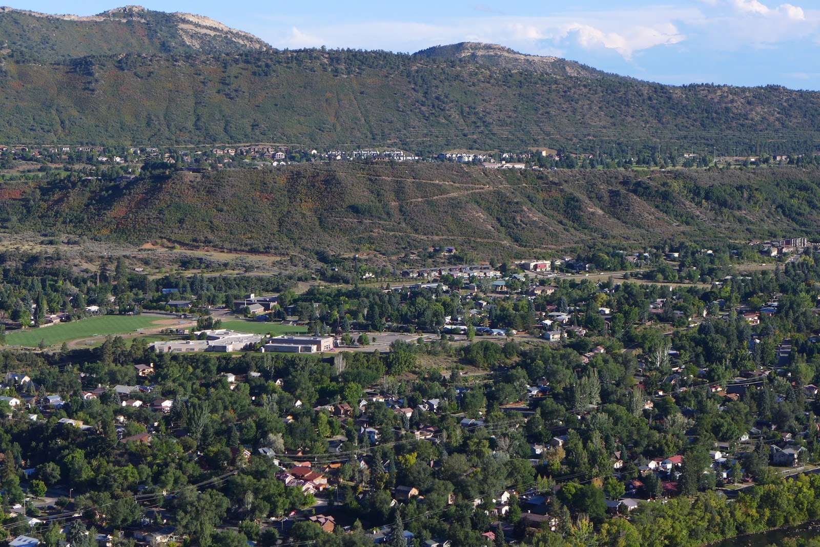
Durango and the Animas River from the college mesa

Raider Ridge. Wondering why I didn't head for the high peaks to ride. But not for long.

Animas City Mtn across the valley, which I decided to hike up in the evening

Raider Ridge Trail is a notch beyond my skill level in many spots. Exposure and uber slabby. Fortunately I was not going to traverse the whole ridge.

Heading up to Telegraph Pass

Some very nice bench singletrack en route to Telegraph Pass

Telegraph Pass. Remnants from a bygone era.

Very tired today, took time to notice the many types of flowers in bloom in Horse Gulch trail system

You come around a bend, and there's a Walmart. Never far from town, even though sometimes it sure feels like you are.

Prickly Pear cactus is not something you usually associate with Colorado.
First view portal on Animas City Mtn. Switchbacks heading up to college mesa I rode in the morning. Raider Ridge next level above college mesa.

This ledge was about 650ft above town

Animas River

Mountain I'm on casting a shadow across the valley

1500ft above town, sunset, but storm cell to west wasn't helping to produce the lighting I was hoping for.

These are everywhere. Much more purple than my camera and/or laptop screen depict

You ride the loop on Animas City Mtn too, which I've done before. Kinda sucks though, because so much of it is ankle biting/tire slipping chunder

Looking down the trail post sunset, downtown in distance