Poking around in Strava, I see locals have been organizing 30, 40, even 58 mile rides linking up trails with bits of road. The problem was, Strava now hoards user submitted data and asks for a fee to access said data. I don't have a problem with that, other than I'm cheap and I like stuff for free. Garmin Connect didn't have enough track diversity to put a good loop together, as almost nobody uses it anymore. So I finally ponied up and subscribed to Strava for a year so I could resume data mining. Strava no doubt has the world's largest depository of trail data.
I grabbed a few of the longest tracks, brought them into DeLorme Topo, then began splicing a nice 30-40 mile loop together. This time I verified that the track was correctly loaded into my Garmin 705 GPS, unlike last time when I visited Blackstone Valley and had no mapping info whatsoever.
Rain over the prior 48 hours never really amounted to much. The trails were still dry, and Saturday was shaping up to be near summer-like. I headed out on the east side of the valley first for the lookout rock. Needed to get that shot with a favorable sun angle.

Used my new mini-octopus tripod to hang the LX3 inverted from tree branch for this shot
Shortly after, I encountered no trespassing signs. That sucked. There was no obvious way to rejoin my loop by going around. The signs appeared to be placed in the legally prescribed manner, conspicuous, every so many feet apart, and signed by the landowner. I respect that even though it looks like numerous cyclists ride through there regularly. The landowner obviously doesn't want me passing through, plus, trespassing on properly posted land is criminal and can be prosecuted.
I did find a way around, which wasn't all that bad, over West Hill Dam. Lots of trails in there, mostly fast carriage roads material, with a fabulous loop of buff, flowy singletrack in the northern portion. Appeared to have been leaf blown too.

West Hill Dam area.
Next up was an area I see going by different names. Some call it Pudding Hill. There is a 5 mile singletrack loop in there that meanders something fierce. Very tight. Sofa bike was no match. A shorter wheelbase 26" bike would have provided much better agility. I seemed to be in the spaghetti maze for an eternity.

Pudding Hill trails. Leaf drop made some of the off-camber side hill riding sketchy.
Pudding Hill is where a wheel sensor really makes a difference. The KOM holder Whitkus logged only 3.53 miles on this segment using an iPhone. I logged 5.11 miles with my Garmin 705 and Ant+ Sport wheel sensor. Witkus got gypped 31% here.
A short bit of road, which I think can be largely eliminated looking at some additional track info, took me back to the Blackstone River Heritage State Park. This is where some of the best riding material is located, especially on Goat Hill.
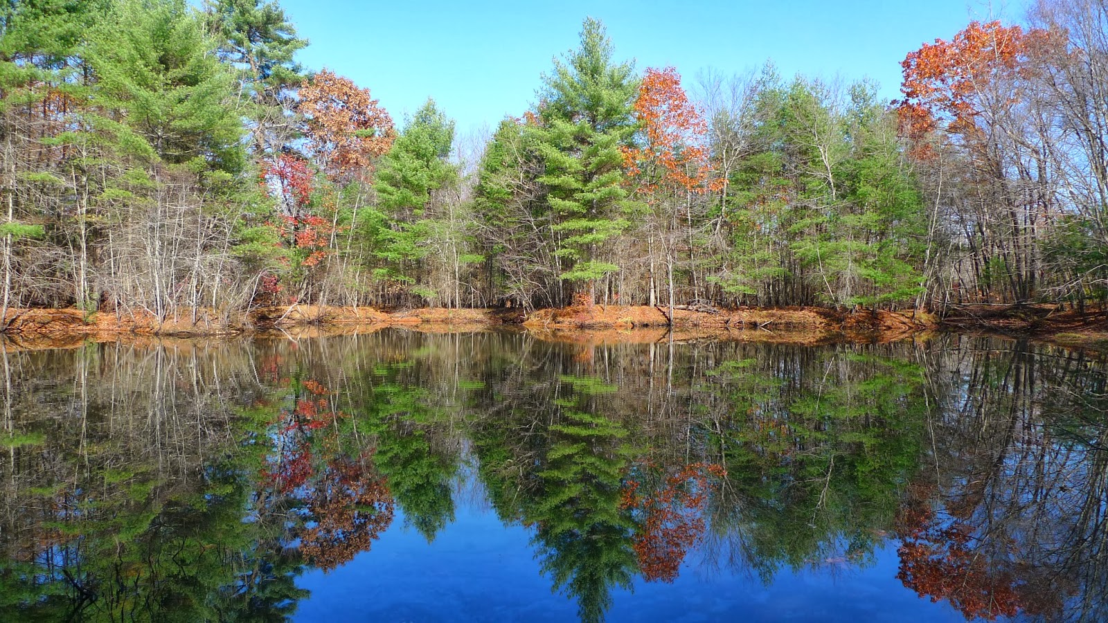
Is it Memorex, or is it live? Northern part of Heritage SP.
After riding the northern loop, I crossed over Rt 122 to ride that loop too. Up until then, I encountered very few rocks. Across Rt 122, it is almost all rocks. The trail often splits into A, B and sometimes even C lines. One could easily get in over their head on some of the features there.
My pace was much slower than expected, due in part to leaf drop, but also do the the really slow Pudding Hill loop. I was running out of time and would not be able to hit all of the Goat Hill trails. A single pass over the summit would have to suffice. My ride very nearly came to an abrupt end at the summit, I rode up onto granite, where it looked like the trail rolled down the other side. It was a freaking vertical 15ft drop! The trail actually veered to the left and nobody was riding that drop.

Goat Hill, descending north side.

The canal bike bath back to the car in Uxbridge
I finished with 4.4hrs moving time, covering 37.6 miles. I definitely have to make more trips there. It isn't that far to drive, 80 minutes max. The White Mountains are further than that. I'll have to hit the valley before leaf drop next time...
Rain and snow never amounted to much over Saturday night either. There were a few flurries about Sunday morning, but no measurable precip. I needed to stay local for something shorter, as I needed to hit the office for a few hours. A good standby is a loop around Massabesic Lake, hitting FOMBA trails along the way. There are myriad ways to add or subtract to/from the loop, doubletrack or singletrack, flat or climbing.

Last of the foliage on carriage roads around Massabesic Lake
I decided to check out a trail I hadn't been on in quite a while. I've heard it go by different names, such as Evil FOMBA, Hanger Banger, Trail X, and No Name trail. It runs about 4mi and pretty much confounds me the whole way. The A-frame bridge is gone, replaced by a tame bridge. But many of the other bridges are hewn logs, and this morning they were slicker than snot. I did not ride any of them.

The "X Trail"
A mellow 24 miles on the sofa bike was had when I finished. Other than being about 30 degrees colder than the day before, it was still very pleasant to be in the woods. Looks like the dry spell will continue.
I swung by Hunt's Photo in Manchester on my way back to pick up a new camera. I've been extremely happy with my Panasonic Lumix LX3. Panasonic introduced the LX5 successor a few years ago, and then the LX7 about a year ago. The pixel count of these camera's is only 10MP, but anybody who's familiar with digital photography understands high pixel counts in small cameras usually means poorer photo quality. The LX7 has more dynamic range than my LX3, more zoom and a manual aperture ring. Picked it up for $279.99 with rebate.
3 comments:
Re Strava membership - You'll be happy to know they added indoor training videos to their business model, so now you can spin inside all year long. Happy, happy.
Hey Doug, this is a bit off topic but from reading your site I see you travel with your bike quite often but don't fly with it. Have you had the best luck with UPS or Fedex? And do you ship to a UPS or Fedex store, or to local bike shops? Just looking for firsthand experience.
Don't think I've ever used UPS. I've probably used FedEx for at least 25 round trips now. Not a single issue. I hear others pay 2-3x more using UPS. It is crucial that dimensions of bike box total 88" or less, or you get bumped into oversize category. typically pay $60-70 each way FedEx Ground. I also pretty much exclusively use FedEx Office centers now to ship to and drop off on return. I ship out initially at the FedEx center near the Manchester airport, since I work close to it. What is nice about FedEx Office is many are open 24hrs, so you have complete flexibility in picking up/dropping off bike there. There is no charge to hold it for you. Make sure you check "hold at location" box. Many bike shops don't want liability, or they want to build your bike up for fee when you ship to them. They have limited hours too. Maybe you prefer that service, but I'd rather make sure my bike is assembled correctly. Takes only 20min or so.
Post a Comment