[Previously posted on FB 15-Sept-2016]
Finally the temperamental weather pattern broke and all-day bluebird skies returned to the high country. One of the must-do's on my list was Handies Peak, a 14er in the Handies Wilderness Study Area (essentially wilderness area). Coming from Durango, I could not drive all the way around over Cinnamon Pass to the common trailhead peak baggers use. I had to use Grouse Gulch with lots of bonus vertical. Instead of 5.7 miles and 2500ft, I'd be looking at closer to 10 miles and 4700ft.
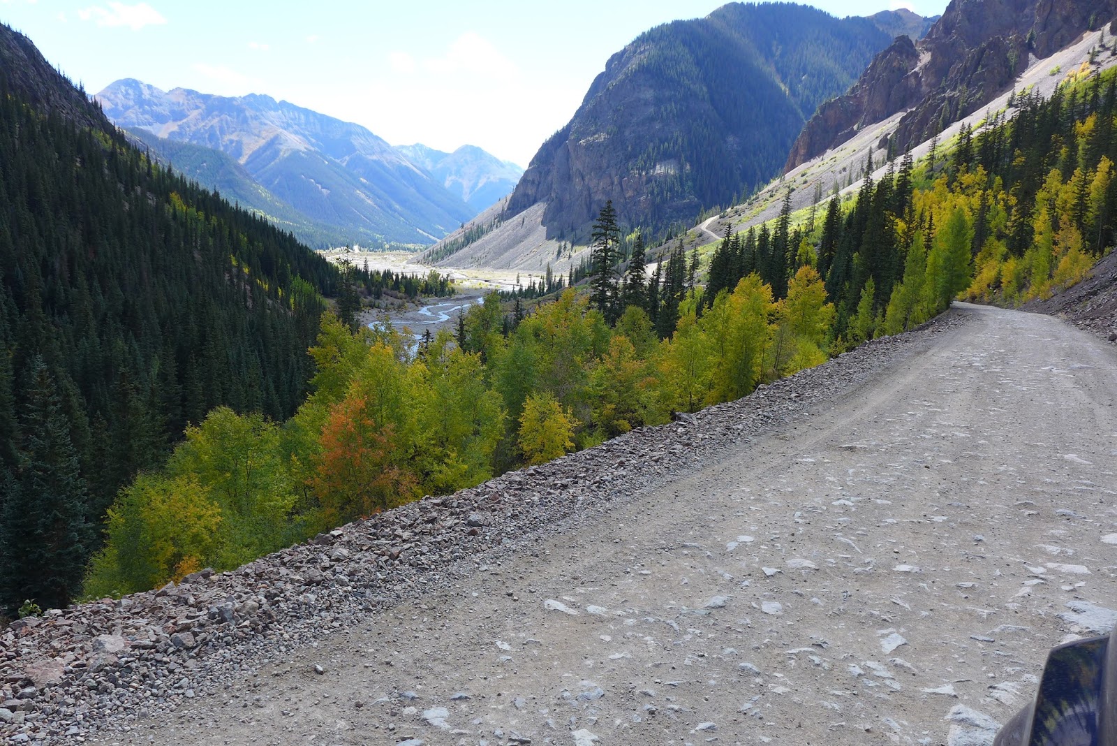
Temps were below freezing driving over. I packed essentially winter hiking gear, not knowing what I'd encounter at the summit. The last two miles of the drive, oh boy, did that road suck. Even in a Jeep. Max speed was less than 5mph much of the time.
At the trailhead, there was one other car. An ultra-runner was just coming down, training for the Bear 100 in Utah, a qualifier for the Hardrock 100. We talked a bit, mostly me begging for energy bars, since I completely failed to pack any food for 5hr hike. He had none. Ultra dude. Runs on fat breakdown and plain water. Anyway, he started wicked early and did not summit. Said it was very cold and looked too snowy and icy for the type of shoes he had on. Great. He had trail runners not much different than my Raptors. You cannot see the summit from this trail head. You must first climb Grouse Gulch and cross over a 13,000ft pass into American Basin before you see the summit. American Basin is where most start their hike, at a much higher elevation than where I started.
Elevation clicked by quickly. Very steep persistent grade up Grouse Gulch. Cresting the top, Handies was indeed white capped, but looked to be merely a dusting. The ground was crunchy with frost. Puddles were frozen pretty hard. And the wind was howling. I stayed in shorts, but just barely, as long as I kept moving.
As I merged onto the American Basin Trail, a younger couple from Portland, OR were also heading up. We hiked pretty close to the same pace to the summit. The summit cleared of others before we got there, so it was just the three of us. Another amazing day at 14,000ft. The gal was getting cold, so they headed down. I had a 14er to myself for a while! Second time this trip. If you sat out of the wind, it was tolerable up there, but I could feel myself getting chilled too. The others I saw coming down were in winter gear. Didn't want to put on the next layer of clothes I brought with me, so I headed down. Many other groups were making their way up on my descent.
Not bringing food wasn't too big of a deal. I brought 100oz of Gatorade mix with me, so I kept sucking it down even though I did not need fluids. Peed a lot! Hiking is a much slower burn than riding, so fat breakdown can make up a much larger percentage of calories burned than glycogen.
I got back to the car with
9.9mi, 4700ft in 4.2hrs moving time on the Suunto. I had the entire Grouse Gulch to myself both ways, which was awesome. Not a very frequently used trail. One more activity day left before heading back to NH. Will be a busy day. Hike or bike?
 |
| Just starting up Grouse Gulch from the jeep road. The beginnings of the Animas River, an eerie iridescent blue here. |
 |
| Looking down Grouse Gulch in the morning. Map does not give name for this emerald green lake. |
 |
| On the pass between Grouse Gulch and American Basin. First look at Handies Peak. |
 |
| Handies and the top of American Basin |
 |
| Looking down American Basin |
 |
| Heading up Handies |
 |
| Looking down American Basin Tr |
 |
| On Handies Peak |
 |
| View west |
 |
| View north |
 |
| View east down Grizzly Gulch |
 |
| View south |
 |
| View east(ish) |
 |
| Zoom of view north. That might be Wetterhorn and Uncomprahgre 14ers left and right of center. |
 |
| Zoom west. Is that Sneffels in the distance? |
 |
| Heading down, looking back up at the summit |
 |
| There was some talus field to cross |
 |
| Stopped by Sloan Lake on the way down. Very clear, very green. Don't think it is algae. Probably minerals make it that way. |
 |
| Finally had a marmot pose for me. Normally they would always bolt. |
 |
| Looking back at Handies Peak after noon, most of the snow now burned off. |
 |
| In a little cove heading back over to Grouse Gulch, there was no wind and it was so pleasant. Could've taken a nap here. |
 |
| Pano of Handies |
 |
| Unnamed pond in Grouse Gulch |
 |
| Looking back up Grouse Gulch on way back to car |
 |
| Small falls in Grouse Gulch |
 |
| My very dirty rental. Rained a lot here in last 24hrs, so road driving in was still very wet. |
 |
| Some color on County Rt 2 heading back into Silverton |