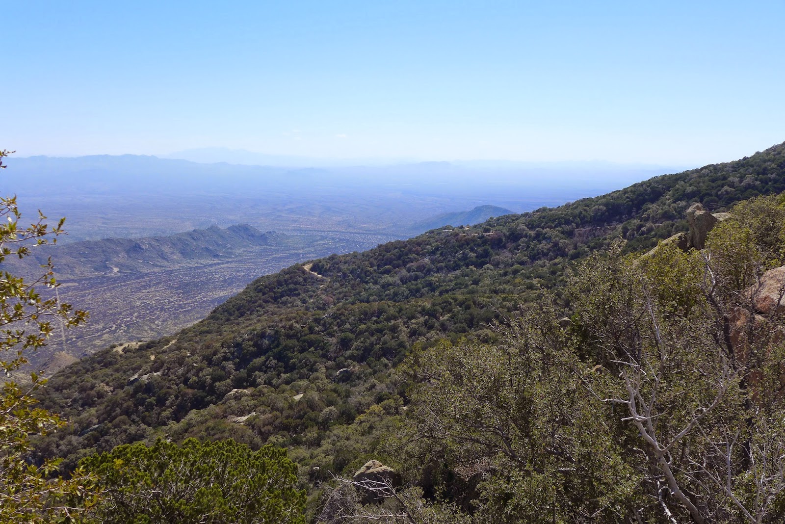
We did one of the bigger planned rides today. Our plan was to started in town, ride our dualies to the very top of Mt Lemmon on the highway, then attempt to hit several sections of trail back down. Only problem was, I was already feeling a bit wrecked from yesterday's ride, and today's ride would entail more miles, hours and vertical than I think I did in all of February. Kind of dumb, huh?
Right from the get-go, I could tell Isaac was ready to rip. Reaching the summit entailed 7000ft of climbing. Do this on a 28 pound MTB with 2.35" wide tires and a 12-15 pound Camelbak, well, it is probably twice as hard as on a road bike with 1 or 2 water bottles.
Half way up at Windy Point, I could already feel warning signs of cramping. We stopped to take in a few calories and the view. The temp was nearly ideal for climbing, just staying ahead of the heat as we gained altitude.
Isaac bolted once we turned onto the ski area access road. Yeah, Mt Lemmon hosts the southern-most ski area in the US. Not sure how often it opens. There was snow left from a week ago on north facing slopes. Hmmm, wonder how that was going to factor into an off-road decent into Summerhaven?
Isaac was passed out on the pavement at the observatory gate at 9100ft. I could have done the same, except I think every muscle in my legs would have cramped had I moved the wrong way. It was cold up top, but not quite cold enough to demand putting a windshell on immediately. I manged to stay short sleeves for the ride.
Heading down, the Aspen Trail was quite muddy at the top. I suspected it would only get worse as it traversed north facing slopes, maybe even snow covered. Crap, so much for riding something new. We bombed back down the paved access road to Summerhaven, which sits at 8000ft elevation.
The Cookie Cabin is almost world famous for their paper-plate sized cookies fresh out of the oven. You can't ride up there from town and not get one. Isaac and I each got a sandwich and a cookie, both very good. Sitting there a good while and putting some real food back into my body brought me partially back into the world of the living.
The next segment of trail started just below the village in Marshall Gulch and climbed back up to the Mt Lemmon highway. The trail disappeared into a gorge of granite, no way out but hands and feet scrambling. Argh! Another trail segment that I wanted to check out, but thwarted. The heatmap suggests people ride it, but we sure couldn't tell which way to get out of the gulch. Maybe hikers are mislabeling their Strava hikes as rides?
Next up was a climb up jeep road Bear Wallow Rd to the antenna farm on Mt Bigelow at around 8500ft. From there, a trail I didn't know much about was to be taken back down to the highway, Sky Islands Traverse. Finally, a trail that worked. Did run into some ice/snow near the top though on the jeep road. The descent was pretty bony material, forcing a few dismounts on the way down. Good to hit some challenging trail after all those hours on pavement.
On our way up the highway, Isaac saw the hike-a-bike to get to the top of Bug Springs trail. He said nope, not interested. But after getting a taste of Mt Lemmon downhill on Sky Islands, he was reconsidering. I had nothing left, but that was our original plan. I had ridden Bugs once before with Dave, and it is a ruckus riot. We decided to give it a go.
The 400ft hike-a-bike was a slog. But once the gradient pointed down, Isaac was gone. I can't believe he rode a couple sections. It was mostly a matter of consequences if something went wrong. You'd rag-doll on nothing but rock. The descent goes on forever, dropping 1300ft on continuously gnarly terrain.
Crossing over the highway, the descent continues, not as steeply. This is the Molino trail, which drops another 600ft or so. Together, the Bugs/Molino drop almost 2000ft. My wrists were shot after this, with death grip on bar and brakes the whole time.
From there it was the bottom five miles of the highway plus another four miles back to the car in town. The ride finished out with
73mi, 6.6hrs moving time and 9300ft of climbing. I'm pretty sure that took more out of me than a D2R2 ride does. Now Isaac is talking crazy, like going over to the Mt Hopkins for a 5500ft dirt climb tomorrow. I'm pretty sure he wants to kill me.
Starting out, a few miles up the Mt Lemmon Hwy
Much further up, the rock formations never get boring.
Windy Point food stop.
Proof. The summit.
Tucson from the summit looking over the 2003 Aspen Fire burn area.
Mt Wrightson (where we rode yesterday) and Mt Hopkins just to right in distance.
The Cookie Cabin. Rebuilt after the fire. In fact, the whole town was rebuilt.
An inch thick and piping hot from the oven. Oatmeal Raisin.
Peanut Butter.
Isaac heading up to Mt Bigelow.
View east from Mt Bigelow.
Descent from Mt Bigelow.
Very chunky terrain. Bugs later stepped it up a few more notches.


