After letting my wife know my game plan, I skedaddled to CB. 30 minutes is a long time to ponder route selection. I changed my plan by the time I got to CB. I would hit the optional extension I didn't do on yesterday's ride. Carbon Creek Trail/Green Lake Trail. I'd loop it by climbing Kebler Pass Rd. I thought that was a pretty safe weather bet, as the 1200ft road climb would go by quickly. I messaged Cathy with my new plan and split.
Temp was only around 45F, but I did not put any long layers on, since the climb begins immediately. I took full complement of winter clothing with me, however, as I pretty much expected to get caught in a frigid deluge. Wind resistant tights, thermal barrier jacket, Gortex shell, full gloves, even a balaclava. Only thing I didn't take was booties.
The TT up Kebler Pass Rd went well. I was suprised how good my legs felt after such a punishing ride the day before. From Kebler Pass, another dirt road is taken south, Ohio Pass Rd. A bit more climbing brought me to a frigid descent. I didn't study the profile for this particular loop, so I wasn't sure how much climbing was involved or how steep it was. So far, so good. There was zero wind and the dark clouds far to the south and west were not getting any closer.
Then I turned off onto Carbon Creek Trail. It began to climb a lot, including traversing large talus fields. Barely rideable. Thought I had enough of that on this trip already. What was particularly disconcerting was there were no mountain bike tracks in any of the wide, soft parts of the trail, only motorcycle tracks. Did I pull another loser track from Strava?
I reached the pass between Carbon Peak and Mt Axtell without too much difficulty. What I didn't remember was there was another big descent after this and I would have to make all that vertical up yet again. Being a moto trail, the descending was quite sketchy. Picture foot deep rut, about a foot wide, chocked full of large, loose rocks. Sometimes descending was almost as slow as climbing.
When the grade pitched up again, it did so with a vengeance. My Garmin told me I would pushing my bike up 18-24% grades on shit crud surface. My shoes are going in the dumpster when I get home. I have worn off all of the sticky rubber lugs on this trip, and they were my newest shoes. Ugh! There was one continuous section of hike-a-bike that took 20 minutes alone. Carbon Creek Trail is poorly maintained - lots of fall-line erosion, deep ruts, over-growth, trail braiding, you name it. There were several other HAB sections on this climb. Six days in a row with significant HAB content. I guess that is a risk of exploring paths less ridden.
When I finally reached the top, the pass between Mt Axtell and Whetstone Mtn, the trail meandered and contoured for a while. It was not easy riding, the trail badly braided through wet spots and rutted everywhere. At least there was a nice view of Mt Crested Butte, a perspective I've not experienced yet. When Carbon Creek Trail (actually called Para me y Para Te on the descent) finally pointed down, it did so almost as meanly as it went up. Rideable, but with considerable risk. I thought at least the hike-a-biking was done...
But no. I round a bend and another talus filled trench at neck tweaking gradient appears before me. F-bombs! I pushed up this like a stumbling drunk again. I came to a trail junction and woman hiking with a dog came by on a cross trail. She asked if I was ok. Oops. I apologized, said I was sick of stubbing my toes on this trail. The good news was the cross-trail she was on was the Green Lake Trail, a descent that gets rave reviews. Maybe the moto-rut BS was finally over and the rest of this 2000ft descent will go well.
Green Lake Trail was everything the reviews claimed it to be. I passed a guy in full downhill bike gear walking his bike up. I bet he was going to be a tad faster coming back down than I was. This trail was very well maintained, probably easy to keep it nice because motos are not allowed on it. The numerous tight switchbacks near the bottom were a test of wits. The descent made me almost forget how much misery I endured to get up there. Based on tire tracks, 99.9% of Green Lake Trail riders come up Wildcat Trail, which is off Kebler Rd just a bit out of town. But what fun would there be in no boondoggle?
After popping out back in town, the skies were still holding. A new trail near town was recently built that I hadn't ridden yet, the Lupine Trail. If I looped Lower Loop, Lupine, Upper Loop and Tony's, I could net another 15-20 miles I figured and never be far from town if it started to pour out.
Lupine is a marvelous trail, built in the same spirit as Trail 401. You see town most of the time down the valley from this trail. I clearly rode it in the wrong direction in terms of fun-factor, but it rides well either way nonetheless. From now on when I ride 401, I will have to start my loop with this trail.
Lupine dumps out near the alpine ski village, From there I picked up Upper Loop trail and took Tony's trail back down to town. Still no rain, but the skies were sure getting dark all around. It was no doubt raining in the high country just north of town. I later learned it rained on and off all morning in Gunnison. I finished with 40mi, 5000ft in 4.6hrs moving time. Another solid ride, hitting at least four named trails I've never been on.
I changed and headed up Elk Ave (the main drag in CB) to get a burrito at Teocalli Tamale's. As I sat down outside, it started to sprinkle. You couldn't ask for better timing.
It is a shame what town leadership did this past weekend with the town. They sold out to Budweiser for a commercial. The whole town was painted blue and they chartered in over 1000 punks to consume free beer for three days. There were concert stages, goofy contests set up, whatever. That was the theme, Whatever, USA. The whole town was shut down for this. It is why I could not book a room in CB over the weekend. Budweiser made a "donation" to the town of $500,000 to take over the town for three full days. Even today, Monday, they still haven't opened everything back up. And Elk Ave? Yeah, it's still painted blue. I really liked Crested Butte, but this idiotic stunt the town leadership secretly pulled will have me looking for other Colorado locales to plan my next trip. The locals didn't even know this was happening until just days before setup started. Here are a couple links (1, 2) with photos from the event. So what made state news about this event? The local Gunnison airport was overwhelmed when it was time for everybody to go home. Many missed connecting flights. And these stupid kids thought it was ok to bring the weed they legally bought here on the plane with them. Whiny bitches.
Tuesday looks like total wash-out. Mike T suggested visiting a hot spring, but there doesn't appear to be any close by. Could do Conundrum hot spring, but I have to hike 8.6 miles one way over a 13,000ft pass in wilderness area to get to it. That could be high risk if the weather is bad. Going to see what radar map looks like in the morning and wing it again. Here's today's photo dump from my shity weatherproof TS4 camera.

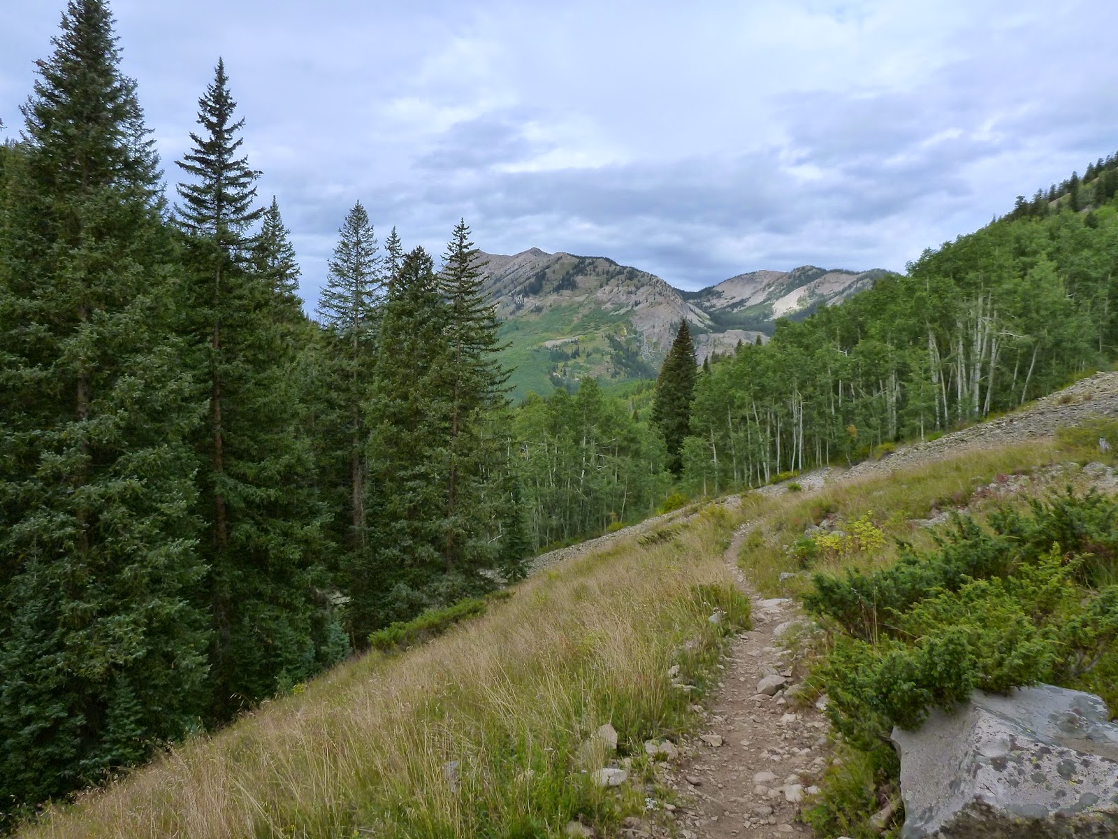
Ohio Pass Rd. The views weren't bad.

Carbon Creek Trail. Rideable, sort of, but I'd rather be done with talus fields.
I think this is Ohio Peak, looking back down Carbon Trail.

This might be Whetstone Mtn, looking up Carbon Creek Trail.

Carbon Creek Trail. Seems pretty enough. But trail was very deep rut here, water running down it in places, and those bushes you see back a ways - they were growing over the trail. You couldn't get out of the rut to avoid them.

Mt Crested Butte and the town below. A perspective you don't get from other rides around CB.

"Steeper than it looks." See trail angle up to right behind trees? F-bombs, as I thought it was all downhill from here on back.

The new Lupine Trail, looking north away from CB. That might be Scarp Ridge in wee background on left side of image.

Another of Lupine Trail with two riders that passed me.

Lupine looking towards town and rain just beyond to the south.

Descending Tony's trail with Mt Crested Butte in background.

Section of Elk Ave still cordoned off after the Budweiser bash. I wonder how many tourist won't be back? Will the street and lamp posts stay that stupid Budweiser blue color forever? If I lived here, I'd be sending town politicians scampering for cover.
1 comment:
Interesting thoughts
Post a Comment